


 |
 Angola
 Bicuar National Park
 Namibia
 Aussinanis
 South Africa
 Alpha
Alpha Zambia
 Dongwe
 Home  Giribesvlakte Infosheet Giribesvlakte Infosheet |
|
Other observatories
The list below shows for which other observatories the following datatype is available:
Observatory Info sheet
(List in North-South Direction)
North-South Direction
 |
 Giribesvlakte (A02) - Observatory Info sheet Giribesvlakte (A02) - Observatory Info sheet 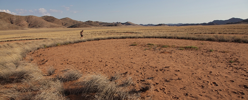
Data
Nearest weather station
 Giribesvlakte GiribesvlakteDistance to station: 0.68 km No current weather data available |
||||||||||||||||||||||||||||||||||||||||||||||||||||

 Cameia National Park
 Dongwe
 Alpha
Alpha

")

